
Dubai Municipality, Civil Defense sign Smart MoU in Geospatial Infrastructure
Dubai Municipality has announced the signing of a Smart Memorandum of Understanding (MoU), the first of its kind in the Arab world, with Dubai Civil Defense in the field of geospatial infrastructure.
The signing of the MoU is part of intensifying efforts and acting at an accelerated pace to achieve the vision of His Highness Sheikh Mohammed Bin Rashid Al Maktoum, Vice President and Prime Minister of the UAE and Ruler of Dubai to explore the future in various fields in order to achieve the highest standards of progress and development and build a decent life for future generations.
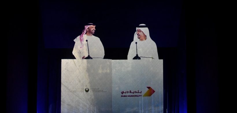
The agreement was signed by Dawoud Al Hajri, Director General of the Municipality and Major General Expert Rashid Thani Al Matrooshi, Director General of Dubai Civil Defense. The latest 3D digital communication technology was used for electronic signature remotely without the use of papers. The two officials signed the agreement using smart electronic panels, and the attendees of both parties witnessed the signing ceremony by live telecast.
Commenting on the MoU, Al Hajri said: “This MoU reflects our keenness to establish strategic cooperation with various establishments in Dubai in order to improve the quality of government services so that our emirate remains one of the best options for investment, work and accommodation, which will contribute in increasing customer satisfaction and ensure their happiness.”
“This agreement will ensure the exchange of experiences and benefitting from services that lead to the achievement of organizational integration. This agreement is also important in developing and strengthening cooperative relations, in order to organize and coordinate legal procedures and systems, in accordance with an institutional framework in line with our commitments and competencies. It is also consistent with our strategic plans,” he said.
“Through this MoU, the Municipality seeks to enhance, develop and implement the geospatial infrastructure of Dubai and exchange information and resources available between the two establishments to provide a comprehensive, unified and up-to-date basic map of Dubai to be used as an effective tool for planning, designing and managing expansion and development projects,” Al Hajri added.
Al Matrooshi said: “Civil defense services are based on accomplishing the” shortest response time” for service delivery, especially fire and rescue services, in which operations are measured in seconds. Hence, the availability of a comprehensive, unified and up-to-date basic map of Dubai will provide civil defense with the necessary background information for firefighters when accidents occur, which shortens response time, a strategic objective of civil defense because it is linked to saving people from the risk of death, reducing property losses and the ability to minimize damage to the environment.”
“In addition to that this project also has a role in enabling the various bodies to ensure accurate scientific planning and sustainable and balanced organizational development of their operations and services at a stage of accelerated developmental growth witnessed by our country. The presence of a digital interactive GIS center will combine planning resources and thus enhance the shared vision of development projects developed by each service department within the competitive pioneering services of the Government of Dubai,” he said.
“The Civil Defense is keen to invest all the capabilities and applications contained in the MoU to realize the vision of Dubai 2021 and enhance strategic cooperation with the Municipality, other government departments, private sector partners and the community, using the latest 3D technologies within our joint strategic objective – Paperless Services,” Al Matrooshi added.
The two parties will ensure joint coordination for the success of the agreement by holding organizational meetings to follow up on the implementation of the provisions of this MoU, as well as evaluating the achievements and difficulties faced by their partnership and recommending the amendment of items or addenda to the present MoU in accordance with the outcome of the meetings. It was agreed between them on the preparation of a service level agreement between the two parties within a period of three months from the signing of this MoU, which includes details of cooperation for exchange of maps, integration of geospatial systems and the bases of their participation with other bodies, and offering technical support and advisory services as well as capacity building and electronically linking both parties.
It is worth mentioning that the GIS Center in Dubai Municipality has been adopted as a sole official source for the collection of geographical and digital data and information descriptive of the Emirate from the various local departments, bodies, public institutions, persons and companies operating in the Emirate of Dubai, and to provide geographic data and information within the scope of agreements and MoUs concluded between the Center and the entity establishing such data and information to any party wishing to benefit from it.


 Kuwaiti developer URC signs with Ahmadiah Contracting for the Commercial District development at Hessah AlMubarak